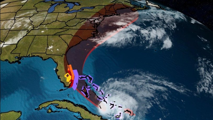
The Greater Philadelphia Severe Weather team is tracking Hurricane Isaias from our location in Fairless Hills, Pa. While at this hour the track and intensity of the storms impacts to our area are unknown, confidence is increasing that we will see impacts from the storm.
At this point the main threat for our area is Tropical Storm Force winds (39mph to 73mph) starting Monday night and lasting until Tuesday night. The greatest threat at this time will be along the coast. Heavy rainfall will also become a major concern Monday night through late Tuesday night.
Impacts:
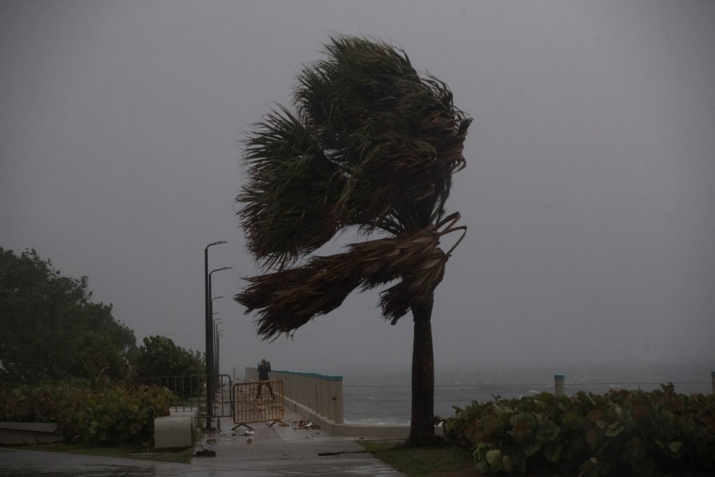
Winds- Strong potential for damaging winds across a large portion of the area, Monday night through Tuesday night.
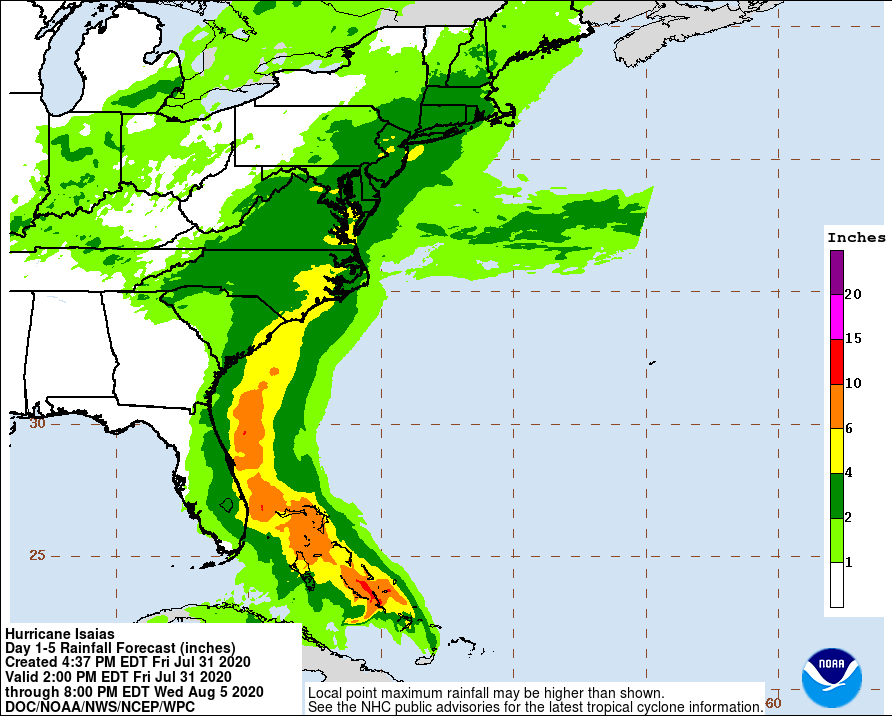
Flooding Rains– Threat of flooding rains Monday night through Tuesday night across Eastern PA, NJ and Delaware.
Early indications and models are showing possible 2-4″ of rain across most of the area with localized areas up to 6″ of rain across parts of the east coast.
We will bring you the latest updates as the storm gets closer. At this point prepare for the power outages across parts of the area. If you are planning on going down the shore this weekend, we advise you not to go into the water due to swells and rip currents.

