Have a great weekend
Saturday
Sunny, with a high near 89. Northwest wind 5 to 10 mph.
Saturday Night
Mostly clear, with a low around 67. West wind around 5 mph becoming calm after midnight.
Sunday
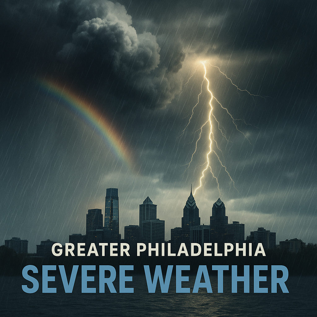
A chance of showers and thunderstorms after 2pm. Increasing clouds, with a high near 90. South wind 5 to 10 mph increasing to 10 to 15 mph in the afternoon. Chance of precipitation is 40%. New rainfall amounts between a quarter and half of an inch possible.
Sunday Night
A chance of showers and thunderstorms before 8pm, then showers likely and possibly a thunderstorm between 8pm and 2am. Mostly cloudy, with a low around 64. South wind 5 to 10 mph becoming west after midnight. Chance of precipitation is 70%. New rainfall amounts between a quarter and half of an inch possible.