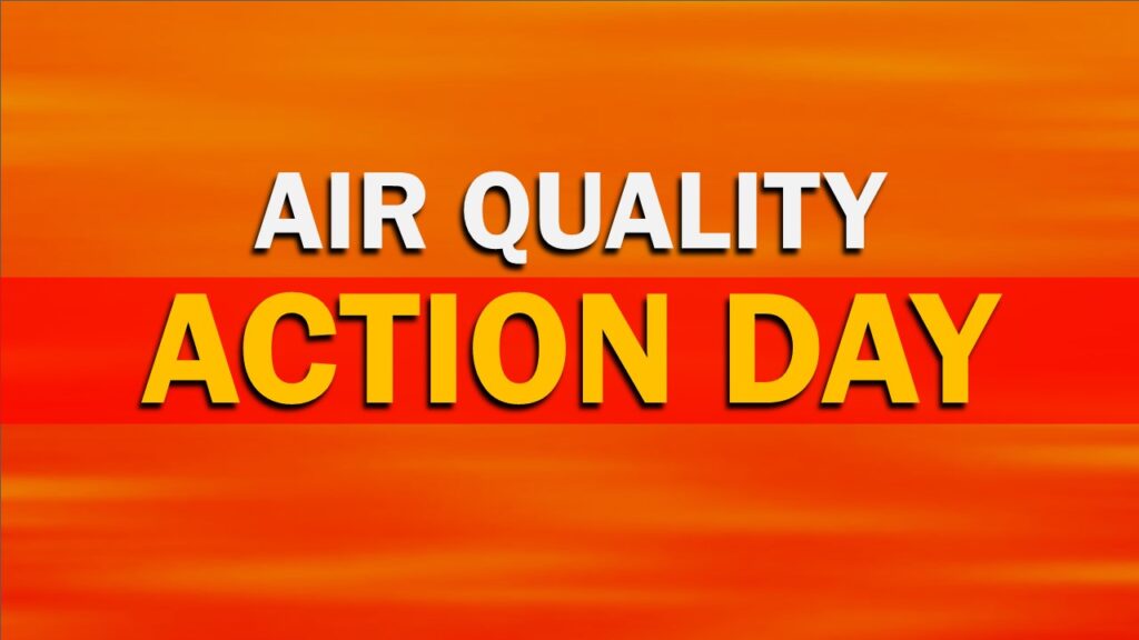
Daily Forecast

Weekend Forecast May 23-24, 2026

Have a great weekend. Saturday is gonna be a soaker!

Saturday

Rain. High near 55. East wind 10 to 15 mph, with gusts as high as 30 mph

Saturday Night

Rain. Low around 50. East wind 10 to 15 mph.

Sunday

Rain before noon and possibly a thunderstorm. High near 66.

Sunday Night

Showers likely and possibly a thunderstorm. Cloudy, with a low around 57.

Daily Forecast Wednesday May 20, 2026 – HEAT ADVISORY IN EFFECT Until 8pm

A Heat Advisory remains in effect through this evening as dangerous heat builds across the region.

Wednesday

A chance of showers and thunderstorms, then showers likely and possibly a thunderstorm after 5pm. Increasing clouds, with a high near 94.

Wednesday Night

Showers likely and possibly a thunderstorm Mostly cloudy, with a low around 56


Daily Forecast Tuesday May 19, 2026 – HEAT ADVISORY IN EFFECT

A Heat Advisory remains in effect through Wednesday evening as dangerous heat builds across the region.

Tuesday will be mostly sunny and HOT with highs near 96°. West winds 5–15 mph will offer little relief during the afternoon. Heat index values could approach or exceed 100° in some areas.Tuesday night stays warm and muggy with partly cloudy skies and lows around 74°. Southwest winds 5–10 mph.


⚠️ Limit strenuous outdoor activity, stay hydrated, and never leave children or pets in vehicles. Check on elderly neighbors and those without air conditioning.

Heat Advisory In Effect Until May 20, 2026 at 8pm

HEAT ADVISORY NOW IN EFFECT UNTIL 8 PM EDT WEDNESDAY...

* WHAT...Heat index values up to 98.

* WHERE...In New Jersey, Mercer, Camden, Gloucester, and
  Northwestern Burlington Counties. In Pennsylvania, Delaware,
  Eastern Montgomery, Lower Bucks, and Philadelphia Counties.

* WHEN...Until 8 PM EDT Wednesday.

* IMPACTS...Hot temperatures and high humidity may cause heat
  illnesses.

* ADDITIONAL DETAILS...Record setting high temperatures are quite
  possible through Wednesday, with maximum heat indices nearing 100
  degrees during peak heating each afternoon. Given the intensity of
  this early season stretch of heat and humidity, we are not
  acclimated to it yet and therefore impacts could be greater if
  precautions are not taken. Showers and some thunderstorms arrive
  later Wednesday afternoon and evening which will break this early
  season heat.

PRECAUTIONARY/PREPAREDNESS ACTIONS...

Drink plenty of fluids, stay in an air-conditioned room, stay out of
the sun, and check up on relatives and neighbors.

Weekend Forecast May 16 and 17, 2026

Have a great weekend! A heatwave will be coming next week!

Saturday

Sunny, with a high near 82. Light southwest wind increasing to 5 to 10 mph in the morning. 

Saturday Night

Increasing clouds, with a low around 64. Southwest wind around 5 mph. 

Sunday

Mostly sunny, with a high near 88. West wind around 5 mph. 

Sunday Night

Partly cloudy, with a low around 64