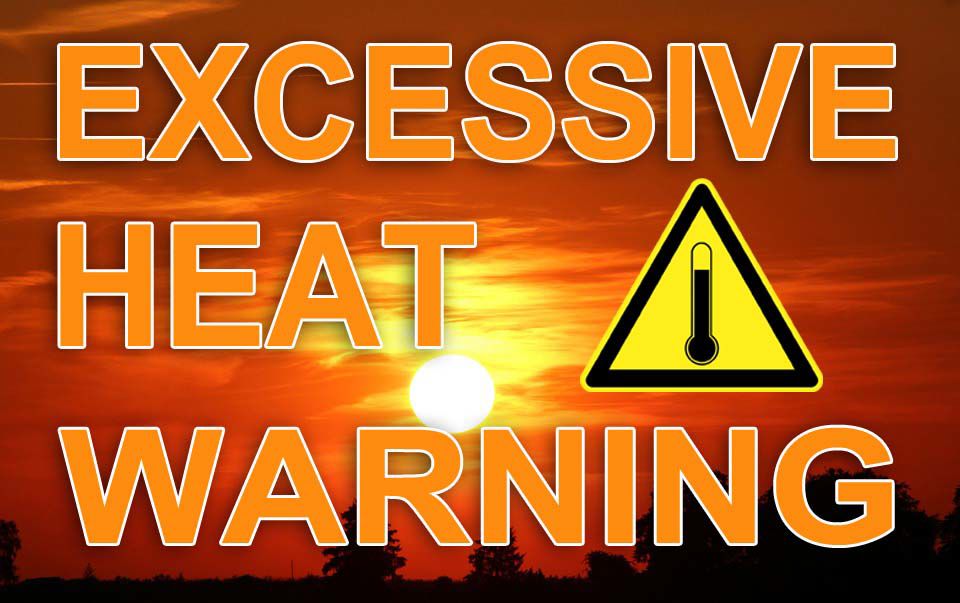
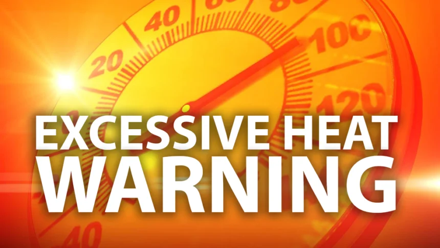
Weekend Forecast April 20 and 21, 2024

Have a great weekend!

Saturday

Isolated showers before 11am. Cloudy through mid morning, then gradual clearing, with a high near 67. Northwest wind 5 to 15 mph. Chance of precipitation is 20%.

Saturday Night

Mostly clear, with a low around 41. Northwest wind 5 to 10 mph.

Sunday

Mostly sunny, with a high near 59. West wind 5 to 10 mph.

Sunday Night

Partly cloudy, with a low around 42

Loud Bangs, Meteor??

THE AMS has received hundreds of reports of a meteor and fireball around same time the storms moving in. https://fireball.amsmeteors.org/members/imo_view/event/2024/1923

We believe the loud bangs were cause by Rapid cooling in the atmosphere causes warm air to crash – crashing warm and cold air in a rapid intensifying cold front causes boom like sounds.

That sound you heard was a ‘COOL’ weather phenomenon also called a cold boom. 

Now have you ever heard of a “cold boom”?  Technically known as a cryoseismic boom.  The boom sound is created by a cryoseism, which is a mini explosion caused by the rapid expansion of frozen water. While considered harmless, these cryoseismic booms certainly caused a stir waking several people from their slumber

Special weather alert

A gust front will impact portions of New Castle, northern Salem, Camden, southwestern Mercer, Gloucester, Burlington, southeastern Montgomery, southeastern Bucks, Chester, Philadelphia and Delaware Counties through 945 PM EDT…

At 903 PM EDT, Doppler radar was tracking a gust front over Radnor Township, or 11 miles west of Philadelphia, moving southeast at 65 mph.

HAZARD…Wind gusts up to 40 mph.

SOURCE…Radar indicated.

IMPACT…Gusty winds could knock down tree limbs and blow around unsecured objects.

Weekend Forecast April 13 and 14, 2024

Have a great weekend!

Saturday

A chance of showers, mainly before 9am. Cloudy, then gradually becoming mostly sunny, with a high near 56. Breezy, with a west wind 20 to 25 mph, with gusts as high as 40 mph. Chance of precipitation is 30%. New precipitation amounts of less than a tenth of an inch possible. 

Saturday Night

Mostly clear, with a low around 43. West wind 5 to 15 mph, with gusts as high as 25 mph. 

Sunday

A slight chance of showers and thunderstorms after 2pm. Mostly sunny, with a high near 71. Southwest wind 5 to 15 mph. Chance of precipitation is 20%.

Sunday Night

A chance of showers and thunderstorms, mainly between 8pm and 2am. Mostly cloudy, with a low around 57

Daily Forecast Friday April 12, 2024

Be alert for flooding potential this afternoon.

Friday

Showers and thunderstorms likely before noon, then a chance of showers between noon and 2pm, then a slight chance of showers and thunderstorms after 2pm. Mostly cloudy, with a high near 63. Breezy, with a southwest wind 15 to 20 mph, with gusts as high as 35 mph.

Friday Night

A slight chance of showers and thunderstorms before 7pm, then a slight chance of showers after midnight. Mostly cloudy, with a low around 46.

Daily Forecast Thursday April 11, 2024

Be alert for flooding potential this afternoon.

Thursday

Showers likely, mainly after 4pm. Patchy fog before 11am. Otherwise, cloudy, with a high near 72. Breezy, with an east wind 5 to 10 mph becoming south 15 to 20 mph in the afternoon. Chance of precipitation is 60%. New precipitation amounts of less than a tenth of an inch possible.

Thursday Night

Showers and possibly a thunderstorm. Some of the storms could produce heavy rain. Low around 60. Windy, with a south wind 25 to 30 mph. Chance of precipitation is 100%. New rainfall amounts between a half and three quarters of an inch possible.