Daily Forecast Thursday June 27, 2024

Finally a day in the 80s

Thursday

A chance of showers, mainly before 7am. Patchy fog before 9am. Otherwise, cloudy through mid morning, then gradual clearing, with a high near 88.

Thursday Night

Mostly clear, with a low around 63. North wind around 5 mph.

Daily Forecast Wednesday June 26, 2024

Have a great day! we can expect severe weather in the afternoon as well as heat index values near 100

Wednesday

A chance of showers and thunderstorms. Some of the storms could be severe. High near 97. Heat index values as high as 100.

Wednesday Night

Showers and possibly a thunderstorm. Some of the storms could be severe. Low around 70.

Daily Forecast Tuesday June 25, 2024

Have a great day! Temps will be warmer today. Tomorrow we can expect severe weather in the afternoon as well as heat index values near 100

Tuesday

Sunny, with a high near 92. Northwest wind 5 to 10 mph. 

Tonight

Partly cloudy, with a low around 75. Southwest wind around 10 mph.

GPSW Heat Advisory

HEAT ADVISORY IN EFFECT 9 am to 9pm WEDNESDAY

…HEAT ADVISORY IN EFFECT FROM 9 AM TO 9 PM EDT WEDNESDAY…

  • WHAT…Heat index values up to 100 expected.
  • WHERE…Portions of northern Delaware, central, northern, and southern New Jersey, and southeast Pennsylvania.
  • WHEN…From 9 AM to 9 PM EDT Wednesday.
  • IMPACTS…Hot temperatures and high humidity may cause heat illnesses.

PRECAUTIONARY/PREPAREDNESS ACTIONS…

Drink plenty of fluids, stay in an air-conditioned room, stay out of the sun, and check up on relatives and neighbors.

Monitor the latest forecasts and warnings for updates.

Daily Forecast Monday June 24, 2024

Have a great Monday! Temps will be cooler today before back into the 90s tomorrow

Monday

Mostly cloudy through mid morning, then gradual clearing, with a high near 82. West wind around 15 mph. 

Monday Night

Mostly clear, with a low around 67

Excessive Heat Warning Until Sunday Night


...EXCESSIVE HEAT WARNING REMAINS IN EFFECT FROM 6 AM TO 8 PM EDT
SUNDAY...

* WHAT...For the Heat Advisory, heat index values up to 103. For the
Excessive Heat Warning, dangerously hot conditions with heat index
values up to 107 expected.

* WHERE...Portions of northern Delaware, New Jersey, and southeast
Pennsylvania.

* WHEN...For the Heat Advisory, until 6 AM EDT Sunday. For the
Excessive Heat Warning, from 6 AM to 8 PM EDT Sunday.

* IMPACTS...Heat related illnesses increase significantly during
extreme heat and high humidity events.

PRECAUTIONARY/PREPAREDNESS ACTIONS...

Drink plenty of fluids, stay in an air-conditioned room, stay out of
the sun, and check up on relatives and neighbors.

Do not leave young children and pets in unattended vehicles. Car
interiors will reach lethal temperatures in a matter of minutes.
GPSW Heat Advisory

Weekend Forecast Saturday June 22 and 23, 2024

Have a great day!

Saturday

A chance of showers and thunderstorms after 5pm. Mostly sunny and hot, with a high near 98. Heat index values as high as 104.

Saturday Night

A chance of showers and thunderstorms, mainly before 8pm. Partly cloudy, with a low around 76.

Sunday

A chance of showers and thunderstorms, mainly after 5pm. Partly sunny and hot, with a high near 98.

Daily Forecast Friday June 21, 2024

Have a great Friday! Heat Advisory is still in effect.

Friday

Sunny, with a high near 96. Southwest wind around 5 mph.

Friday Night

A slight chance of showers and thunderstorms before 11pm. Patchy fog after 2am. Otherwise, partly cloudy, with a low around 72.

HEAT ADVISORY NOW IN EFFECT UNTIL 6 AM EDT SATURDAY……EXCESSIVE HEAT WATCH NOW IN EFFECT FROM SATURDAY MORNING THROUGH SUNDAY EVENING…

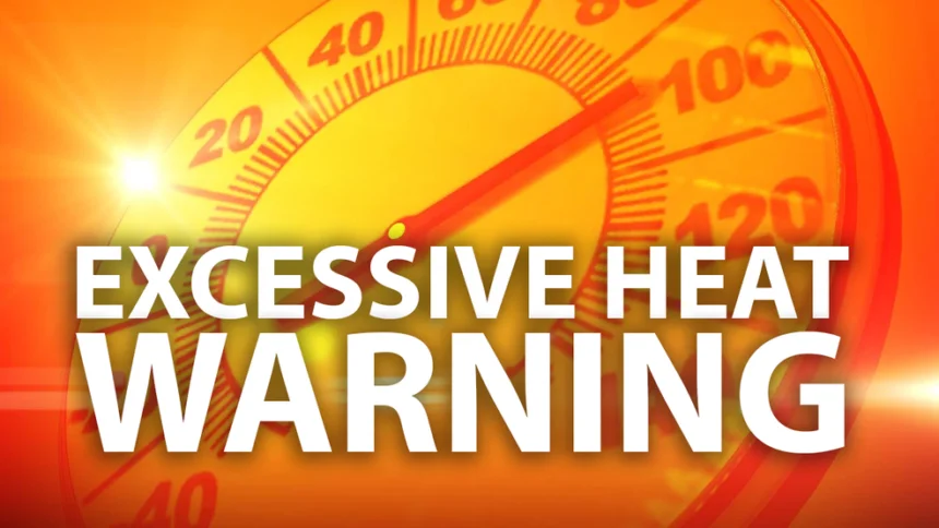
  • WHAT…For the Heat Advisory, heat index values ranging from 95 to 100 degrees. For the Excessive Heat Watch, dangerously hot conditions with heat index values ranging from 100 to 105 degrees possible.
  • WHERE…Portions of northern Delaware, central, northern, and southern New Jersey, and southeast Pennsylvania.
  • WHEN…For the Heat Advisory, until 6 AM EDT Saturday. For the Heat Advisory, the hottest temperatures and heat indices are forecast to occur on Friday. For the Excessive Heat Watch, from Saturday morning through Sunday evening.
  • IMPACTS…Heat related illnesses increase significantly during extreme heat and high humidity events.

PRECAUTIONARY/PREPAREDNESS ACTIONS…

Drink plenty of fluids, stay in an air-conditioned room, stay out of the sun, and check up on relatives and neighbors.

Do not leave young children and pets in unattended vehicles. Car interiors will reach lethal temperatures in a matter of minutes.

Monitor the latest forecasts and warnings for updates.