Oct
05
Daily Forecast Thursday October 6, 2022
Take the sunglasses today!
Thursday
Patchy fog before 9am. Otherwise, sunny, with a high near 73.
Thursday Night
Partly cloudy, with a low around 54.

Take the sunglasses today!
Thursday
Patchy fog before 9am. Otherwise, sunny, with a high near 73.
Thursday Night
Partly cloudy, with a low around 54.
Temps will be dropping into the 40s in some places tonight. Bundle up!
Wednesday
A chance of rain and thunderstorms. Cloudy, with a high near 59.
Wednesday Night
Patchy fog after 5am. Otherwise, cloudy, then gradually becoming partly cloudy, with a low around 49
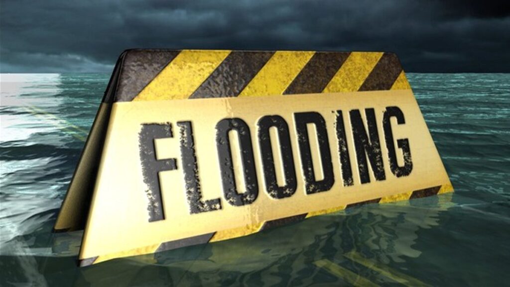
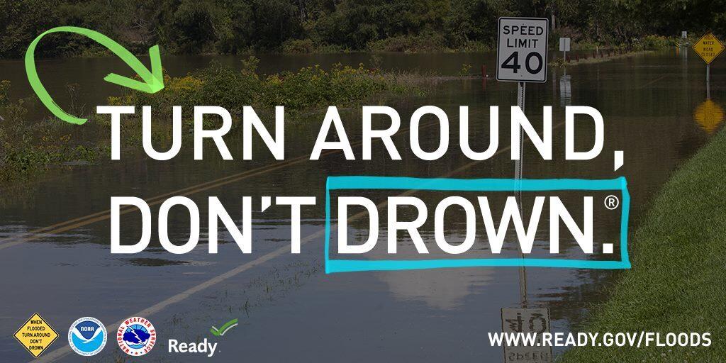
COASTAL FLOOD ADVISORY REMAINS IN EFFECT FROM 1 PM THIS
AFTERNOON TO 9 PM EDT TUESDAY...

* WHAT...Up to one foot of inundation above ground level
  expected in low-lying areas near shorelines and tidal
  waterways.

* WHERE...In New Jersey, Gloucester, Camden and Northwestern
  Burlington. In Pennsylvania, Delaware, Philadelphia and Lower
  Bucks.

* WHEN...From 1 PM this afternoon to 9 PM EDT Tuesday.

* IMPACTS...At this level, flooding begins on the most
  vulnerable roads along tidal waterways. Some partial or full
  road closures are possible.

PRECAUTIONARY/PREPAREDNESS ACTIONS...

If travel is required, allow extra time as some roads may be
closed. Do not drive around barricades or through water of
unknown depth. Take the necessary actions to protect flood-prone
property.

&&
Coastal Flood Advisory in effect until 9pm this evening.
Tuesday
Showers likely, Cloudy, with a high near 55. North wind around 15 mph, with gusts as high as 25 mph.
Tuesday Night
A chance of showers. Cloudy, with a low around 49. North wind around 15 mph, with gusts as high as 25 mph.
Have a great Monday! Take the umbrella today as you will need it at times!
Monday
Rain likely, mainly before 2pm. Cloudy, with a high near 54. North wind around 15 mph, with gusts as high as 25 mph
Monday Night
A chance of rain. Cloudy, with a low around 45. North wind 5 to 10 mph.
* WHAT...Flooding caused by excessive rainfall is expected.

* WHERE...Portions of New Jersey...and southeast Pennsylvania...
  including the following counties...in New Jersey...Burlington,
  Camden, Hunterdon, Mercer, Monmouth, and Somerset. In southeast
  Pennsylvania...Bucks, Delaware, Montgomery, and Philadelphia.

* WHEN...Until 1130 AM EDT.

* IMPACTS...Minor flooding in low-lying and poor drainage areas.

* ADDITIONAL DETAILS...
  - At 842 AM EDT, Doppler radar indicated moderate to heavy
    rainfall across the area. Between 0.5 and 1 inch of rain has
    already fallen, with an additional 0.5 to 1.0 inches
    possible. Minor flooding is ongoing or expected to begin
    shortly across portions of the advisory area.
  - Some locations that may experience flooding include...
    Philadelphia, Trenton, Camden, Gloucester City, Cherry Hill,
    Bensalem, Evesham, Mount Laurel, Ewing, Norristown,
    Willingboro, and Medford.
  - This includes the following highways...
    New Jersey Turnpike between exits 4 and 8.
    Pennsylvania Turnpike between mile markers 327 and 359.
    Interstate 95 in Pennsylvania between mile markers 17 and 40.
    Interstate 76 in Pennsylvania between mile markers 328 and
    351.
    Interstate 76 in New Jersey between mile markers 1 and 3.
    Interstate 295 in New Jersey between mile markers 28 and 76.
    Interstate 195 in New Jersey between mile markers 0 and 11.
    Interstate 676 in Pennsylvania between mile markers 0 and 1.
  - http://www.weather.gov/safety/flood

PRECAUTIONARY/PREPAREDNESS ACTIONS...

Be aware of your surroundings and do not drive on flooded roads.
Have a great Weekend!
Saturday
Rain and possibly a thunderstorm. High near 61. Northeast wind around 15 mph, with gusts as high as 30 mph.
Saturday Night
Rain likely and possibly a thunderstorm. Cloudy, with a low around 54. Northeast wind around 10 mph, with gusts as high as 25 mph.
Sunday
Showers likely, mainly after 2pm. Cloudy, with a high near 60. Northeast wind around 15 mph, with gusts as high as 30 mph..
Sunday Night
Showers likely, mainly before 8pm. Cloudy, with a low around 47.
Friday
Partly sunny, with a high near 68. Northeast wind around 10 mph.
Friday Night
A chance of rain. Cloudy, with a low around 55. Northeast wind 5 to 10 mph, with gusts as high as 20 mph
Have a great Thursday!
Thursday
Sunny, with a high near 68
Thursday Night
Partly cloudy, with a low around 50.
Have a great day!
Wednesday
Sunny, with a high near 69
Wednesday Night
Partly cloudy, with a low around 51