Jun
11
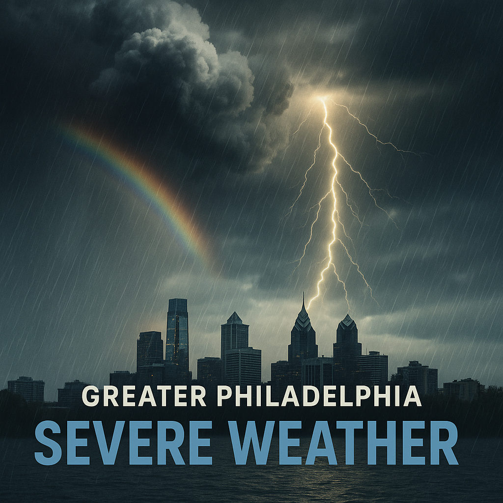
Daily Forecast June 11, 2025
Happy Wednesday!
Wednesday
Sunny, with a high near 85. Light northwest wind becoming west 5 to 10 mph in the afternoon.
Wednesday Night
Clear, with a low around 65

Happy Wednesday!
Wednesday
Sunny, with a high near 85. Light northwest wind becoming west 5 to 10 mph in the afternoon.
Wednesday Night
Clear, with a low around 65
The sun will come out Wednesday!
Monday
A chance of showers and thunderstorms,. Patchy fog before 8am. Otherwise, cloudy, with a high near 71.
Monday Night
Showers likely and possibly a thunderstorm after 2am. Cloudy, with a low around 62.
Have a good weekend! Looks like we will see rain daily until Wednesday.
Saturday
A chance of showers and possibly a thunderstorm. Mostly cloudy, with a high near 80.
Saturday Night
Mostly cloudy, with a low around 63. Northwest wind around 5 mph becoming calm.
Sunday
A chance of showers and possibly a thunderstorm. Mostly cloudy, with a high near 76.
Sunday Night
Showers and thunderstorms likely. Cloudy, with a low around 61
Have a great weekend! Showers and Thunderstorms possible all weekend.
Friday
Mostly sunny, with a high near 85. Calm wind becoming south around 5 mph in the afternoon.
Friday Night
A chance of showers, with thunderstorms also possible after 5am. Increasing clouds, with a low around 65
Have a good day!
Thursday
Partly sunny, with a high near 89. Calm wind becoming southwest around 5 mph in the afternoon.
Thursday Night
Mostly cloudy, with a low around 66

The Delaware Valley Regional Planning Commission has issued a
code orange air quality alert Wednesday for The Philadelphia
Metro area.

A code orange air quality alert means that air pollution
concentrations within the region may become unhealthy for
sensitive groups. Sensitive groups include children...people
suffering from asthma... heart disease or other lung
diseases...and the elderly. The effects of air pollution can
be minimized by avoiding strenuous activity or exercise outdoors.
Have a good day!
Tuesday
Sunny, with a high near 81. Calm wind.
Tuesday Night
Clear, with a low around 58
Happy June!!!! We should see the sun for most of the week! We could see showers return on Friday.
Monday
Sunny, with a high near 73. Northwest wind around 5 mph.
Monday Night
Mostly clear, with a low around 53
Have a good weekend! The sun will come out tomorrow!
Saturday
Showers and thunderstorms likely. High near 71. Breezy, with a west wind 15 to 20 mph, with gusts as high as 30 mph.
Saturday Night
Showers and thunderstorms likely. Mostly cloudy, then gradually becoming mostly clear, with a low around 49.
Sunday
Mostly sunny, with a high near 69. West wind around 10 mph, with gusts as high as 20 mph.
Sunday Night
Mostly clear, with a low around 50

FLOOD WATCH IN EFFECT FROM THIS EVENING THROUGH SATURDAY
MORNING...

* WHAT...Flooding caused by excessive rainfall is possible.

* WHERE...Portions of northern Delaware, including the following
  area, New Castle and Pennsylvania, including the following areas,
  Berks, Delaware, Eastern Chester, Eastern Montgomery, Lehigh,
  Lower Bucks, Northampton, Philadelphia, Upper Bucks, Western
  Chester and Western Montgomery.

* WHEN...From this evening through Saturday morning.

* IMPACTS...Excessive runoff may result in flooding of rivers,
  creeks, streams, and other low-lying and flood-prone locations.
  Creeks and streams may rise out of their banks.

* ADDITIONAL DETAILS...
  - Heavy rain is expected to move in late this evening,
    continuing through the overnight hours. Periods of rainfall
    rates of 1-2" per hour are possible. Rainfall amounts of 1 to
    3 inches over a 6 to 12 hour period expected.
  - http://www.weather.gov/safety/flood

PRECAUTIONARY/PREPAREDNESS ACTIONS...

You should monitor later forecasts and be alert for possible Flood
Warnings. Those living in areas prone to flooding should be prepared
to take action should flooding develop.