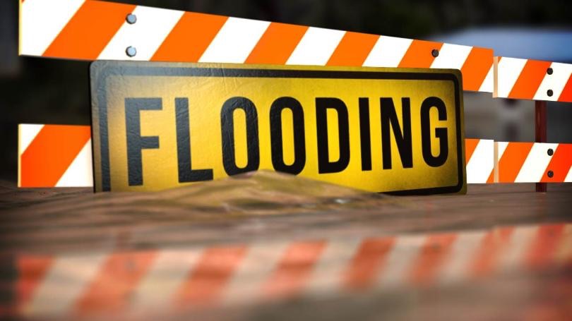
FLOOD WATCH REMAINS IN EFFECT FROM LATE TONIGHT THROUGH SUNDAY MORNING
- WHAT…Flooding caused by excessive rainfall continues to be possible.
- WHERE…Portions of Delaware, including the following areas, Delaware Beaches, Inland Sussex, Kent and New Castle, New Jersey, including the following areas, Atlantic, Atlantic Coastal Cape May, Camden, Cape May, Coastal Atlantic, Coastal Ocean, Cumberland, Eastern Monmouth, Gloucester, Hunterdon, Mercer, Middlesex, Morris, Northwestern Burlington, Ocean, Salem, Somerset, Southeastern Burlington and Western Monmouth, and southeast Pennsylvania, including the following areas, Delaware, Eastern Chester, Eastern Montgomery, Lower Bucks, Philadelphia, Upper Bucks, Western Chester and Western Montgomery.
- WHEN…From late tonight through Sunday morning.
- IMPACTS…Excessive runoff may result in flooding of rivers, creeks, streams, and other low-lying and flood-prone locations. Creeks and streams may rise out of their banks. Flooding may occur in poor drainage and urban areas. Low-water crossings may be flooded.
- ADDITIONAL DETAILS…
- Widespread heavy rainfall of 2 to 4 inches is forecast with rain beginning late tonight continuing through Saturday evening with locally higher amounts possible. Excessive runoff may continue to cause rivers, creeks, and streams to rise through Sunday, even after the heavy rain has stopped.
PRECAUTIONARY/PREPAREDNESS ACTIONS…
You should monitor later forecasts and be alert for possible Flood Warnings. Those living in areas prone to flooding should be prepared to take action should flooding develop.
