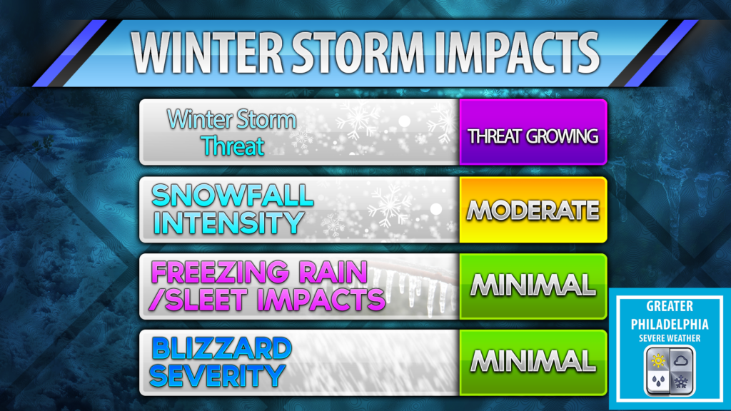
At this hour confidence is continuing to grow that parts of the east coast will see a major winter storm. This storm is capable of bringing feet of snow to some and blizzard conditions. This storm will impact most major cities on the east coast. The models continue to show a nor’easter with blockbuster potential for the weekend, mainly late Friday through Saturday, We still can’t answer how much you will get in your backyard, so please don’t ask! We will see snow but how much is the big question.
At this time this is our thinking. Our map shows who has the best chance of seeing less than 3″, more then 3″ and greatest chance for seeing over 6″.
At this time the i95 corridor around Philly we are looking at 3-6″ but any trend west will increase those numbers and any trend will decrease those numbers. Currently we are seeing a east trend. We hope to have those numbers somewhat finalized by tomorrow afternoon. Our second call map WILL have localized snow totals.
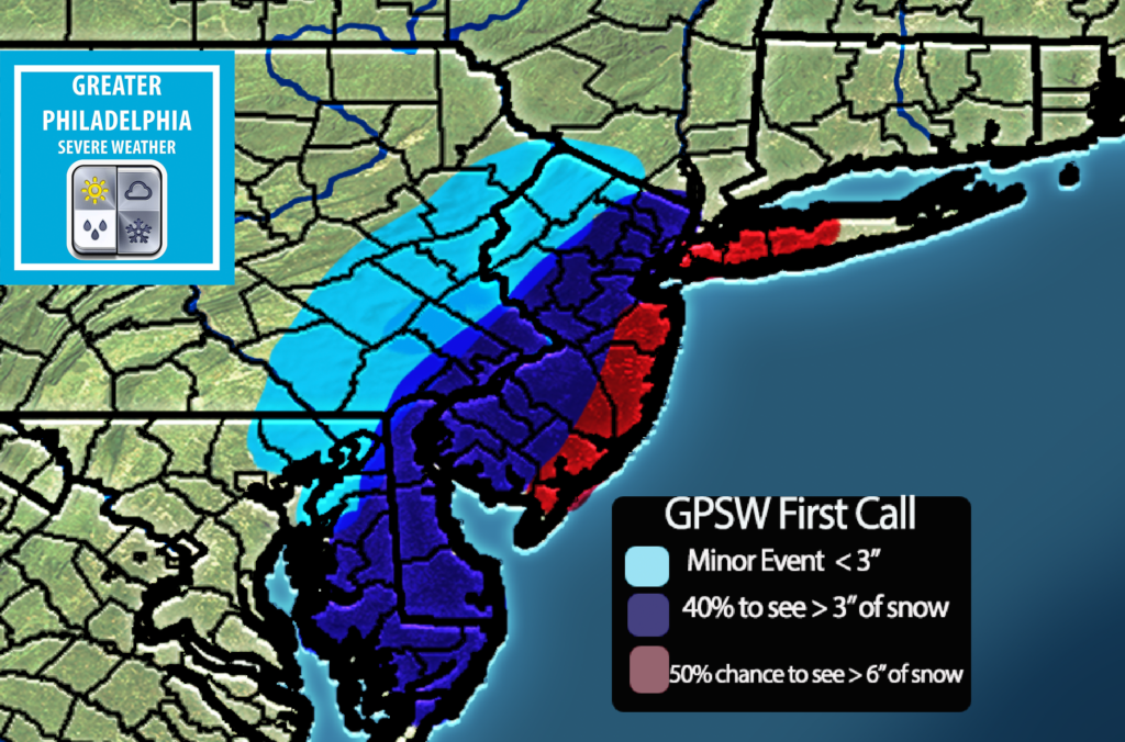
While we are not set on the snowtotals at this time, we do feel confident in saying who we feel will see at least those numbers above.
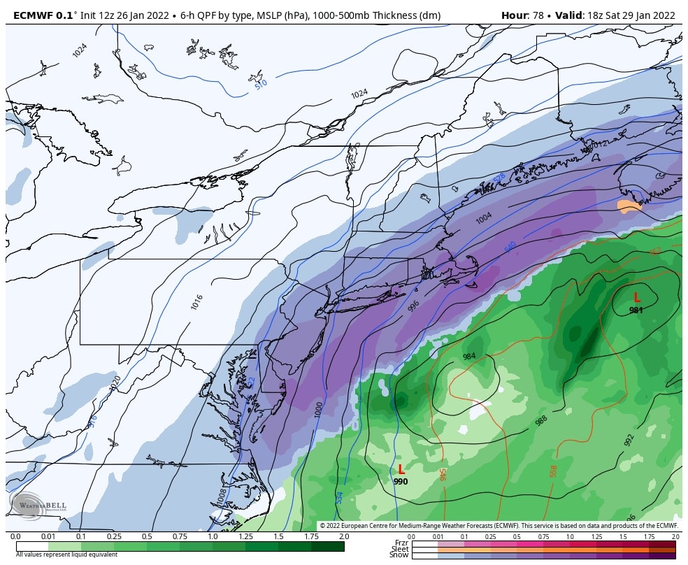
Now what the models are showing:
The latest Euro showing 6-18+ inches of snow depending on location. These totals cut down the further east you get.