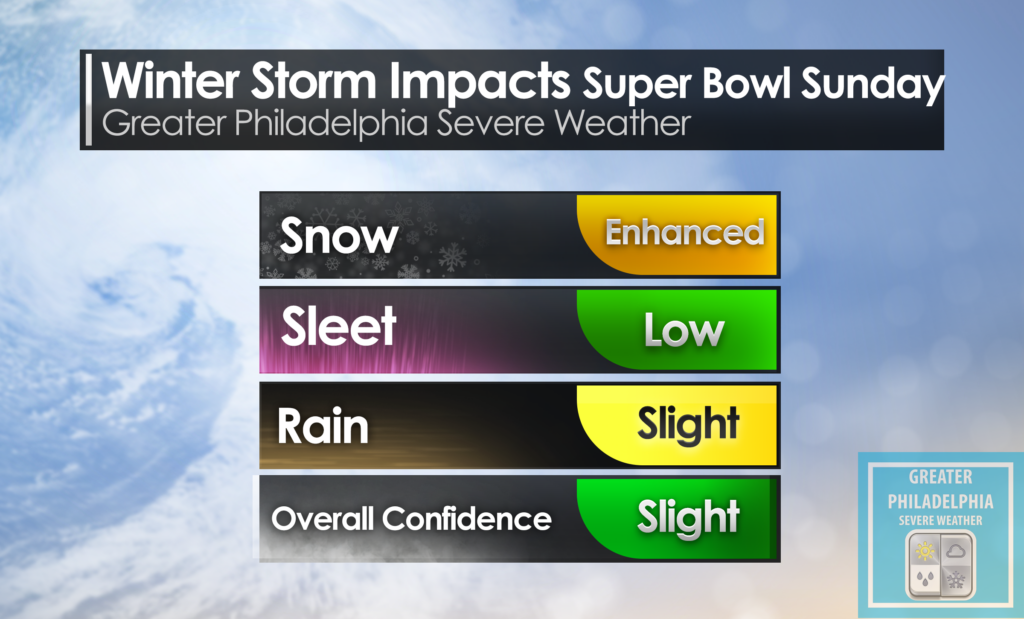
We are tracking what could be our next winter storm. Currently the American weather models (NAM/GFS) are showing moderate to major snow on Sunday. The Euro model is showing it as a minor system in the 1-3″ range. While we are a few days away our team is stating to pinpoint and work on final calls.
At this point we are not fully confident the storm will happen, but the threat is growing. This could be a 1-3″ or 3-6″ storm if everything pans out. While we work over the next day or so we will bring you the latest information including a full update tomorrow evening. Until then be prepared for rain/snow showers tomorrow morning.
