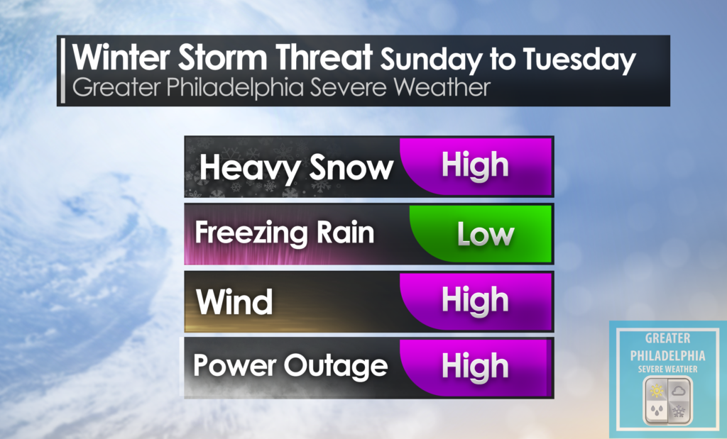
As you have heard we are tracking a major winter storm that will begin late tomorrow afternoon and last until Tuesday morning. This storm will produce significant snowfall across our viewing area. Take account the high snowfall totals with gusty winds power outages are very possible as the low starts to crank off shore and the winds really pick up.
The snow will begin after 4pm and continue through about dinner time on Tuesday. We expect the heaviest snowfall to happen between late morning/Midday Monday until around 9am on Tuesday morning. As we have mentioned winds will be gusty during the storm with winds 10-20mph and sustained guest up to 50mph is possible. Could some areas see a blizzard warning, it is possible but at this point no warnings are in effect. Blowing and drifting snow will cause travel issues. Also travel should be limited during the storm as visibility will be less than 1 miles at times. We might we have some THUNDERSNOW along the Philadelphia area.
Philadelphia | Lower Bucks | Trenton | Princeton Significant snowfall is expected in these areas. 8-12” but some areas could see more than 16” if bands setup.
Central/ Upper Bucks 6-12” could see higher amounts depending on pending.
Allentown | Lehigh Valley 4-6” Snow with some sleet possible.
Lancaster | KOP 8-12” could see more depending on setup.
Atlantic City | Wildwood 1-3” Snow to mix to rain and possibly ending as snow on the backend.
