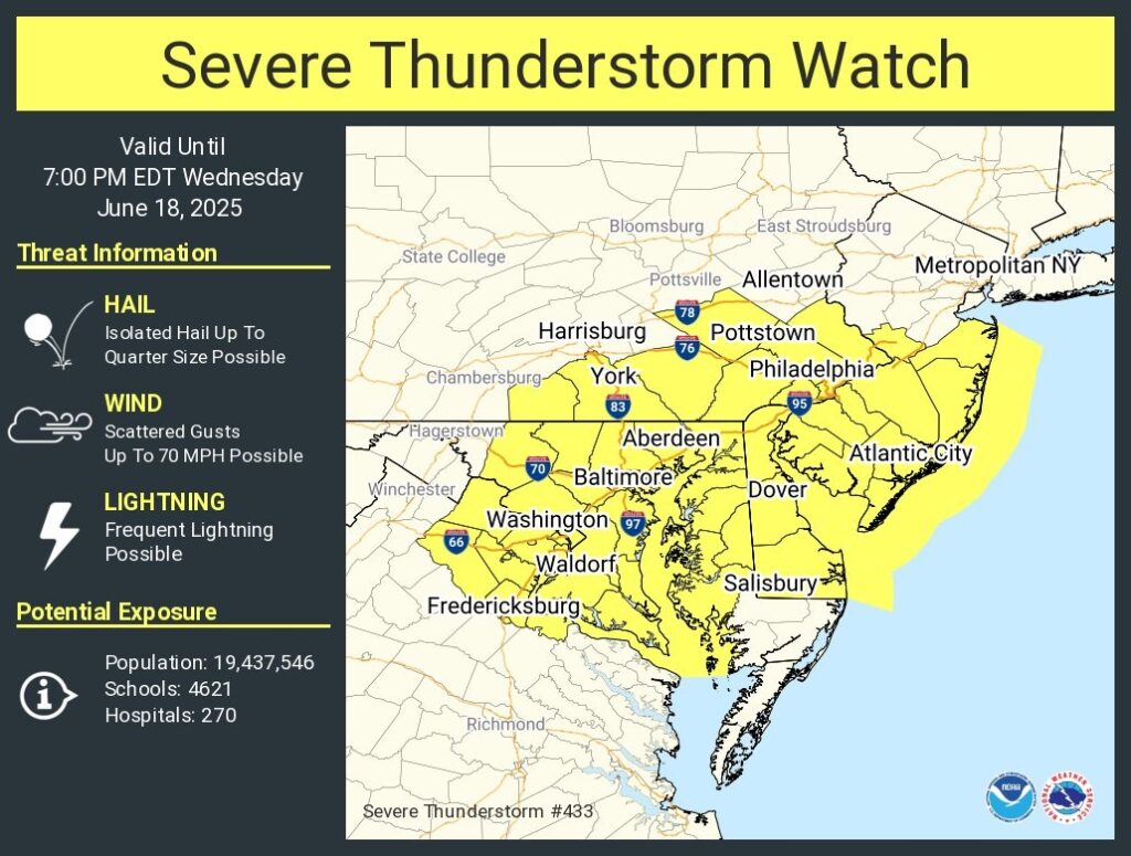
Severe Thunderstorm Watch until 7pm
Severe Thunderstorm Watch for portions of District Of Columbia Delaware Eastern Maryland Southern New Jersey Southeast Pennsylvania Northern Virginia Coastal Waters
- Effective this Wednesday afternoon and evening from 1245 PM until 700 PM EDT.
- Primary threats include… Scattered damaging wind gusts to 70 mph possible
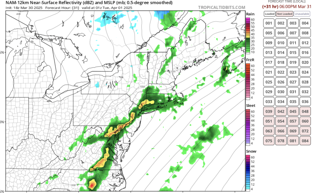
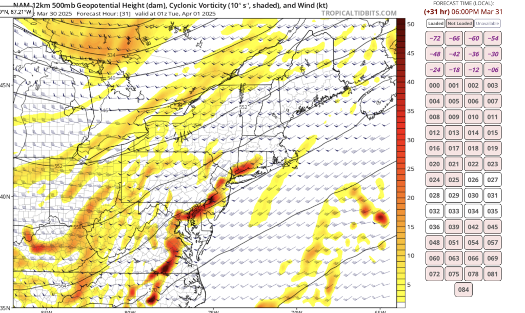
SUMMARY…Scattered thunderstorms will spread eastward across the watch area through the afternoon. The strongest cells will be capable of localized damaging wind gusts.
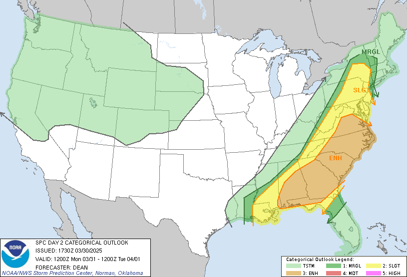
The severe thunderstorm watch area is approximately along and 80 statute miles east and west of a line from 30 miles northwest of Philadelphia PA to 55 miles southeast of Washington DC. For a complete depiction of the watch see the associated watch outline update (WOUS64 KWNS WOU3).
PRECAUTIONARY/PREPAREDNESS ACTIONS…
REMEMBER…A Severe Thunderstorm Watch means conditions are favorable for severe thunderstorms in and close to the watch area. Persons in these areas should be on the lookout for threatening weather conditions and listen for later statements and possible warnings. Severe thunderstorms can and occasionally do produce tornadoes.
&&
OTHER WATCH INFORMATION…CONTINUE…WW 432…
AVIATION…A few severe thunderstorms with hail surface and aloft to 1 inch. Extreme turbulence and surface wind gusts to 60 knots. A few cumulonimbi with maximum tops to 500. Mean storm motion vector 27025.