Have an awesome weekend!
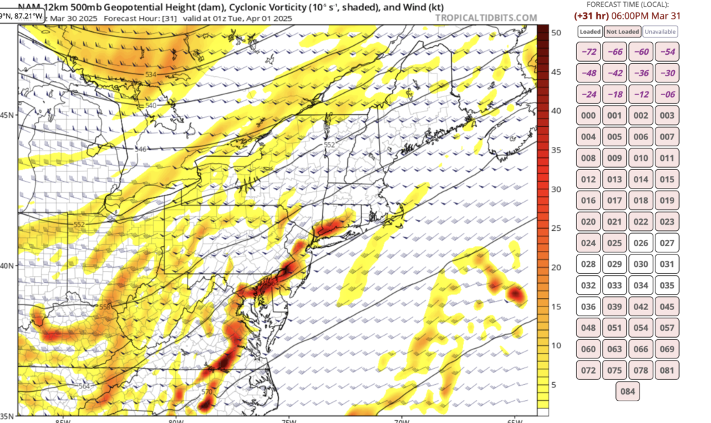
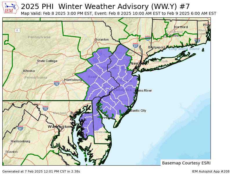
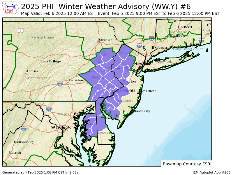
Winter Weather advisory in effect Saturday 3pm to Sunday morning, and most importantly GO BIRDS
Saturday
Snow likely, mainly after 5pm. Cloudy, with a high near 35. Northwest wind 5 to 10 mph becoming southeast in the afternoon. Chance of precipitation is 60%. New snow accumulation of less than one inch possible.
Saturday Night
Snow, freezing rain, and sleet before 1am, then a chance of rain or freezing rain between 1am and 4am, then a chance of rain and snow after 4am. Low around 28. Southeast wind 5 to 10 mph becoming northwest after midnight. Chance of precipitation is 100%. New ice accumulation of 0.1 to 0.2 of an inch possible. New snow and sleet accumulation of less than one inch possible.
Sunday
A chance of snow before 7am. Cloudy through mid morning, then gradual clearing, with a high near 39. Northwest wind 5 to 10 mph, with gusts as high as 20 mph. Chance of precipitation is 30%. Little or no snow accumulation expected.
Sunday Night
Mostly cloudy, with a low around 23