.
The Flash Flood Watch continues for
* Portions of northern Delaware...New Jersey...and Pennsylvania...
including the following areas...in northern Delaware...New Castle.
In New Jersey...Atlantic, Camden, Coastal Ocean, Cumberland,
Eastern Monmouth, Gloucester, Hunterdon, Mercer, Middlesex,
Morris, Northwestern Burlington, Ocean, Salem, Somerset,
Southeastern Burlington, Warren, and Western Monmouth. In
Pennsylvania...Berks, Delaware, Eastern Chester, Eastern
Montgomery, Lehigh, Lower Bucks, Northampton, Philadelphia, Upper
Bucks, Western Chester, and Western Montgomery.
* From 2 PM EDT this afternoon through late Saturday night.
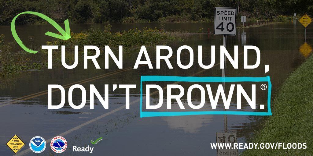
* A slow-moving weather system will affect the region today and
Saturday. Thunderstorms are likely to develop this afternoon and
evening, with additional storms possible tonight through much of
Saturday. With hot and humid conditions in advance of this system,
storms will likely produce torrential downpours. As storms are
also expected to be slow-moving, there is elevated potential for
localized flash flooding, especially in more vulnerable urban
areas and in locations that received substantial rainfall during
the past couple of weeks.
PRECAUTIONARY/PREPAREDNESS ACTIONS...
You should monitor later forecasts and be prepared to take action
should Flash Flood Warnings be issued.