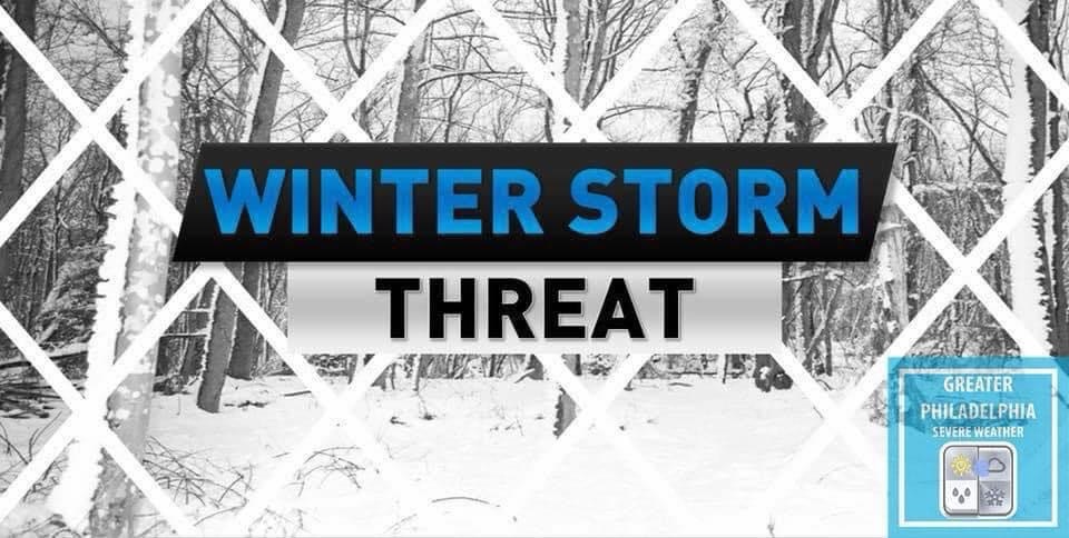
While the Philadelphia area did not see a White Christmas, The best we can get is a post-Christmas winter storm that is expected to impact the Greater Philadelphia area from Friday evening, December 26 through early Saturday morning, December 27, bringing a mix of snow, sleet, and freezing rain as moisture overruns cold air across the Northeast.
Snow and wintry precipitation are likely to begin Friday afternoon and continue into the overnight hours, with the highest confidence for snow and potential plowable totals in the Philadelphia metro area and suburbs but also a notable risk for sleet and ice, especially closer to the I-95 corridor and southern parts of the region.
Preliminary snowfall projections for the broader area suggest a widespread 3 – 6 inches of snow, with isolated higher amounts possible in parts of northeastern Pennsylvania and interior areas.
TRAVEL ADVISORY: This storm arrives during peak travel times late Friday and could lead to hazardous travel conditions, slick roads, and delays into Saturday as the system departs the region.
FIRST CALLS: We will have an update to these total late tonight or tomorrow.

If the NWS issues any watches or advisories we will provide an update.
Here is the latest NWS thinking on the storm.
