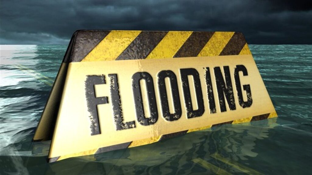
GPSW Heat Advisory

ALERT: Heat Advisory In Effect Thursday 11am until Friday at 6am

HEAT ADVISORY IN EFFECT FROM 11 AM THURSDAY TO 6 AM EDT
FRIDAY. EXCESSIVE HEAT WATCH IN EFFECT FROM FRIDAY MORNING THROUGH
FRIDAY EVENING...

* WHAT...For the Heat Advisory, heat index values up to 103
  degrees expected. For the Excessive Heat Watch, dangerously hot
  conditions with heat index values up to 106 degrees possible.

* WHERE...Portions of northern Delaware, central, northern and
  southern New Jersey and southeast Pennsylvania.

* WHEN...For the Heat Advisory, from 11 AM Thursday to 6 AM EDT
  Friday. For the Excessive Heat Watch, from Friday morning
  through Friday evening.

* IMPACTS...Extreme heat and humidity will significantly
  increase the potential for heat related illnesses,
  particularly for those working or participating in outdoor
  activities.

* ADDITIONAL DETAILS...Heat index values up to 103 degrees may be
  possible again on Saturday.

PRECAUTIONARY/PREPAREDNESS ACTIONS...

Monitor the latest forecasts and warnings for updates on this
situation. Be prepared to drink plenty of fluids, stay in an air-
conditioned room, stay out of the sun, and check up on relatives
and neighbors.

Young children and pets should never be left unattended in
vehicles under any circumstances. This is especially true during
warm or hot weather when car interiors can reach lethal
temperatures in a matter of minutes.

Daily Forecast Thursday July 27, 2023

A Heat Advisory is in effect until 6am Friday in which a Excessive Heat Watch will go into effect.

Thursday

A slight chance of showers and thunderstorms after 2pm. Some of the storms could produce gusty winds. Mostly sunny and hot, with a high near 97. Heat index values as high as 104.

Thursday Night

A showers and thunderstorms. Partly cloudy, with a low around 75.

ALERT: Air Quality Alert for Wednesday July 26

AIR QUALITY ALERT IS IN EFFECT FOR WEDNESDAY JULY 26...

The Delaware Valley Regional Planning Commission has issued a
code orange air quality alert Wednesday for The Philadelphia
Metro area.

A code orange air quality alert means that air pollution
concentrations within the region may become unhealthy for
sensitive groups. Sensitive groups include children...people
suffering from asthma... heart disease or other lung diseases...and the elderly. The effects of air pollution can be minimized by avoiding strenuous activity or exercise outdoors.

Daily Forecast Tuesday July 25, 2023

Have a great Tuesday!

Tuesday

A slight chance of showers and thunderstorms after noon. Some of the storms could produce gusty winds and heavy rain. Patchy fog before 7am. Otherwise, mostly sunny, with a high near 89

Tuesday Night

A chance of showers and thunderstorms before 2am. Mostly cloudy, then gradually becoming mostly clear, with a low around 68.

Weekend Forecast July 22 and 23, 2023

Have a great weekend, this is our first nice weekend in 5 weeks!

Saturday

Mostly sunny, with a high near 85. Northwest wind 5 to 10 mph.

Saturday Night

Mostly clear, with a low around 64. Northwest wind around 5 mph becoming calm in the evening.

Sunday

Sunny, with a high near 88. Calm wind becoming west around 5 mph in the morning.

Sunday Night

Mostly clear, with a low around 67.

Daily Forecast Friday July 21, 2023

Have a great Friday PLEASE use caution due to risk of flash flooding this morning and evening.

Friday

A showers and thunderstorms. Some of the storms could produce gusty winds and heavy rain. Mostly cloudy, with a high near 82.

Friday Night

A chance of showers and thunderstorms. Partly cloudy, with a low around 66.