Jan
18
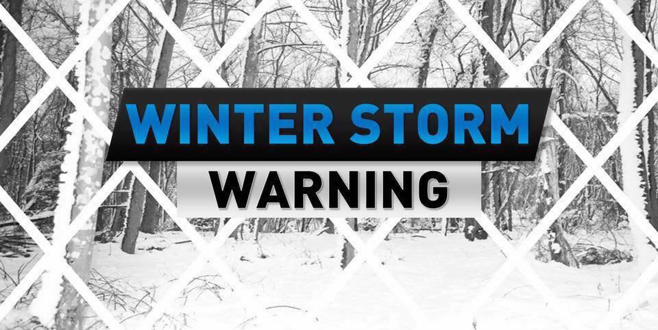
Daily Forecast Friday Jan. 19, 2024
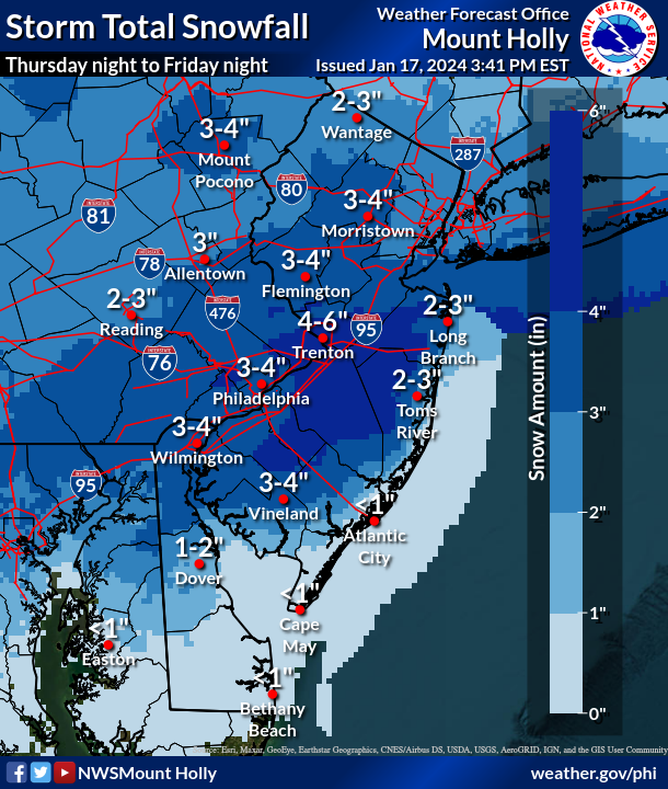
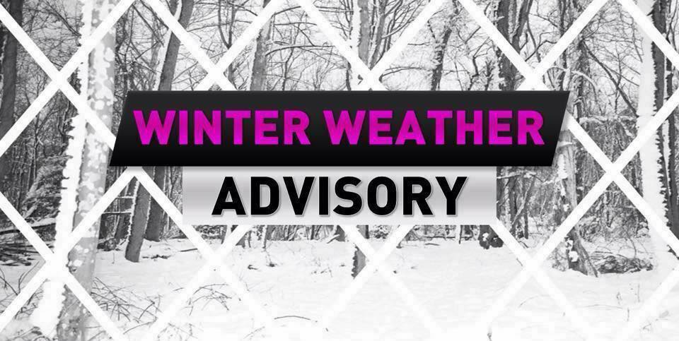
Winter Storm Warning in effect until 10pm.
Friday
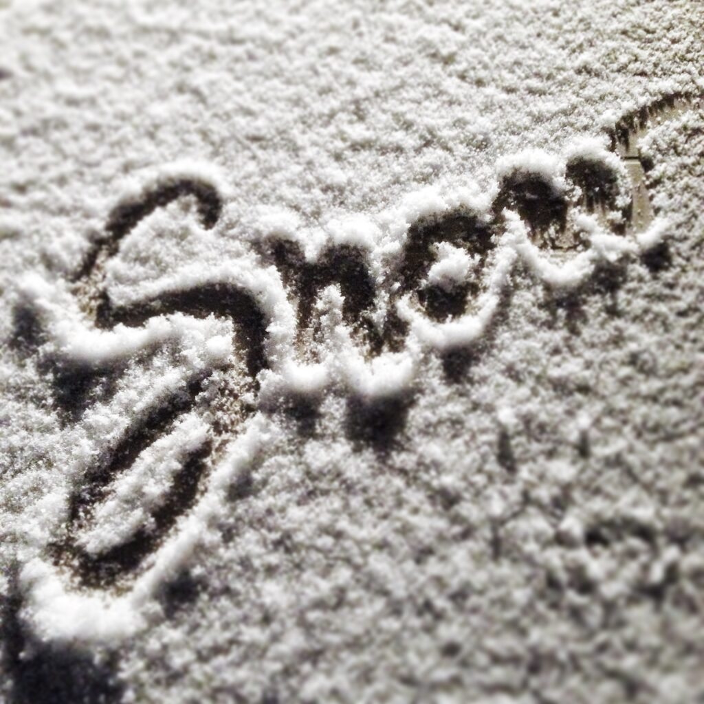
Snow. High near 31. Northeast wind 5 to 10 mph. 4-8″ of snow possible
Friday Night
Snow before 10pm. Cloudy during the early evening, then gradual clearing, with a low around 14.