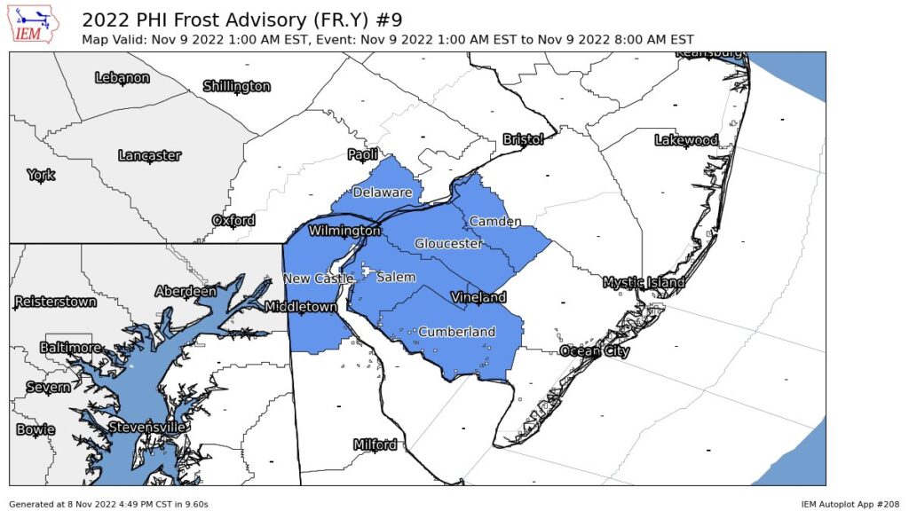
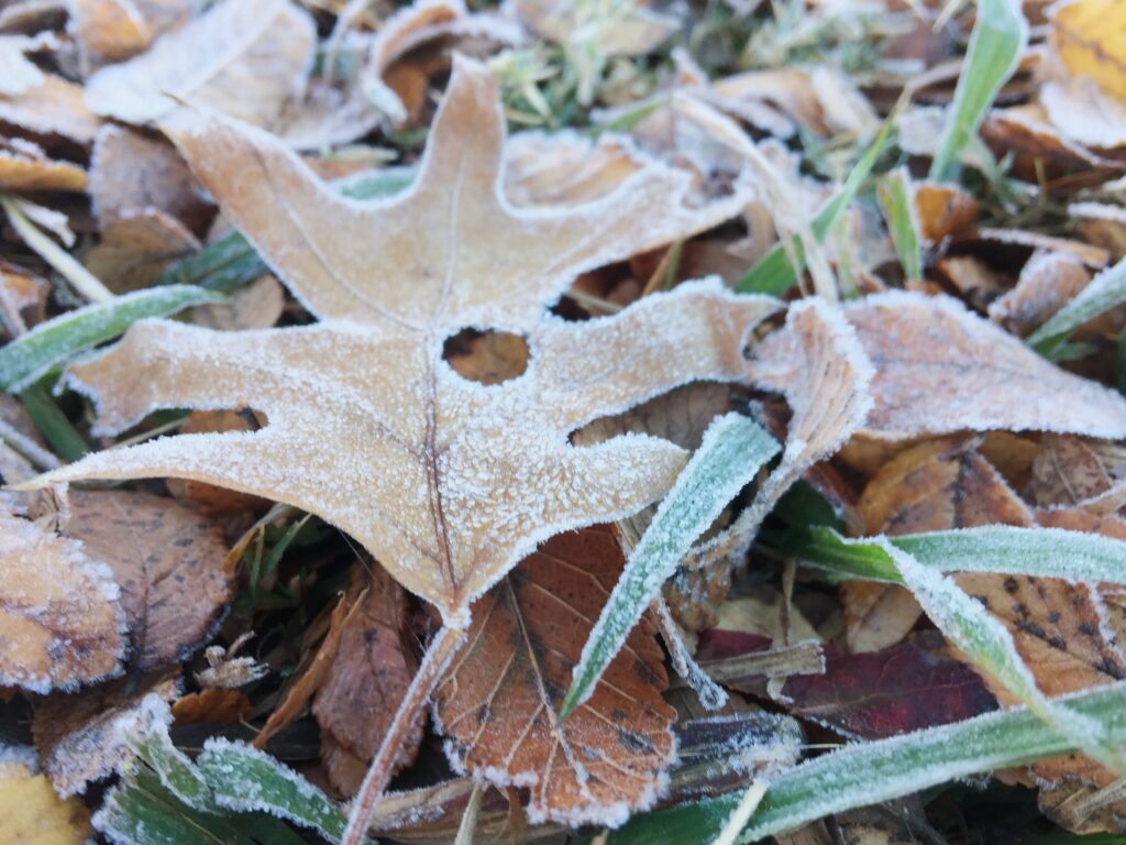
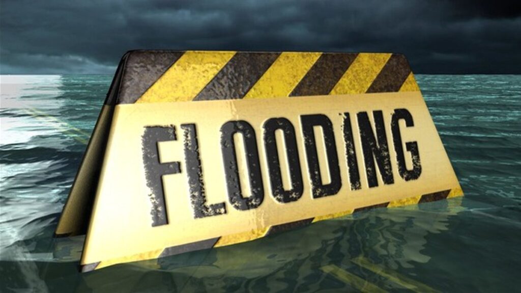
* WHAT...Flooding caused by excessive rainfall is expected.
* WHERE...Portions of New Jersey...and southeast Pennsylvania...
including the following counties...in New Jersey...Burlington,
Camden, Hunterdon, Mercer, Monmouth, and Somerset. In southeast
Pennsylvania...Bucks, Delaware, Montgomery, and Philadelphia.
* WHEN...Until 1130 AM EDT.
* IMPACTS...Minor flooding in low-lying and poor drainage areas.
* ADDITIONAL DETAILS...
- At 842 AM EDT, Doppler radar indicated moderate to heavy
rainfall across the area. Between 0.5 and 1 inch of rain has
already fallen, with an additional 0.5 to 1.0 inches
possible. Minor flooding is ongoing or expected to begin
shortly across portions of the advisory area.
- Some locations that may experience flooding include...
Philadelphia, Trenton, Camden, Gloucester City, Cherry Hill,
Bensalem, Evesham, Mount Laurel, Ewing, Norristown,
Willingboro, and Medford.
- This includes the following highways...
New Jersey Turnpike between exits 4 and 8.
Pennsylvania Turnpike between mile markers 327 and 359.
Interstate 95 in Pennsylvania between mile markers 17 and 40.
Interstate 76 in Pennsylvania between mile markers 328 and
351.
Interstate 76 in New Jersey between mile markers 1 and 3.
Interstate 295 in New Jersey between mile markers 28 and 76.
Interstate 195 in New Jersey between mile markers 0 and 11.
Interstate 676 in Pennsylvania between mile markers 0 and 1.
- http://www.weather.gov/safety/flood
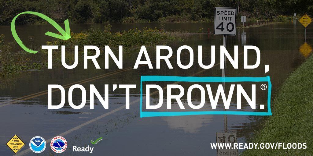
PRECAUTIONARY/PREPAREDNESS ACTIONS...
Be aware of your surroundings and do not drive on flooded roads.