FLOOD WATCH REMAINS IN EFFECT FROM THIS EVENING THROUGH MONDAY AFTERNOON… * WHAT…Flooding caused by excessive rainfall continues to be possible.
* WHERE..
.Portions of Delaware, including the following areas, Delaware Beaches, Inland Sussex, Kent, and New Castle. Portions of northeast Maryland, including the following areas, Caroline, Kent MD, Queen Annes, and Talbot. Portions of New Jersey, including the following areas, Atlantic, Atlantic Coastal Cape May, Camden, Cape May, Coastal Atlantic, Coastal Ocean, Cumberland, Eastern Monmouth, Gloucester, Hunterdon, Mercer, Middlesex, Morris, Northwestern Burlington, Ocean, Salem, Somerset, Southeastern Burlington, Sussex, Warren, and Western Monmouth. Portions of Pennsylvania, including the following areas, Berks, Carbon, Delaware, Eastern Chester, Eastern Montgomery, Lehigh, Lower Bucks, Monroe, Northampton, Philadelphia, Upper Bucks, Western Chester, and Western Montgomery. * WHEN…From this evening through Monday afternoon.
* IMPACTS…
Excessive runoff may result in flooding of rivers, creeks, streams, and other low-lying and flood-prone locations. Flooding may occur in poor drainage and urban areas.
* ADDITIONAL DETAILS…
– Rainfall totals of 2.0 to 3.0 inches are forecast across the watch area today and Monday, with the heaviest falling later tonight through early Monday morning. Locally higher amounts are probable. The ground is more saturated due to heavier rain over the last couple of weeks. A period of higher hourly rainfall rates are expected later tonight into early Monday morning, and this can locally enhance the flooding especially in urban areas
PRECAUTIONARY/PREPAREDNESS ACTIONS…
You should monitor later forecasts and be alert for possible Flood Warnings. Those living in areas prone to flooding should be prepared to take action should flooding develop.
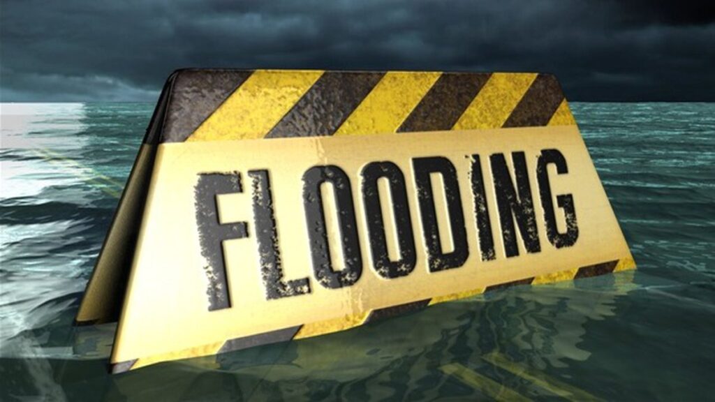
Flood Watch In Effect until 6pm Monday