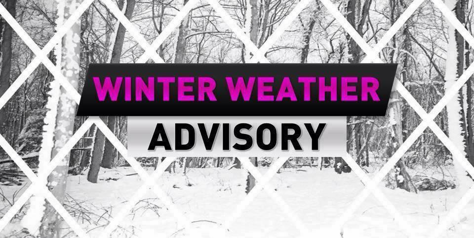
Winter Weather Advisory In Effect from 1pm Saturday until 1pm Sunday
* WHAT...Mixed precipitation expected. Total snow accumulations of
  less than one inch and ice accumulations of up to one tenth of
  an inch.

* WHERE...Portions of New Jersey and southeast Pennsylvania.

* WHEN...From 1 PM Saturday to 1 PM EST Sunday.

* IMPACTS...Difficult travel conditions are possible due to icy
  roadways, especially Saturday evening through Sunday morning.

PRECAUTIONARY/PREPAREDNESS ACTIONS...

Slow down and use caution while traveling.
Saturday afternoon we will see snow/sleet move into the area after 4pm and could start at snow to the north, but a wintery mix/sleet for majority of the area. This first wave will be light, just use caution when out driving Saturday overnight into Sunday morning for slick spots and allow for extra time.
Monday Night into Tuesday we are sounding the alarms. This is looking more and more likely a major ice storm will cause significant issues to some along the Mid Atlantic and Northeast. At this point who gets more ice vs less is still up in the air. BUT we can’t stress this enough any ice/freezing rain will cause issues. At this point you should start to prepare for an ice storm if you are in the DC-Phl-NYC areas. Use the next day to prepare a disaster supply kit. Each kit should include a food/water supply for 3 days, flash lights w/ extra batteries, first aid kit, at least a 7 day supply of any medicines, as well as cash (can’t use the ATM if power is out). If the ice storm threat becomes a reality power could be out for days if not weeks.
We will have the latest information throughout the next day or so and bring you round the clock updates.