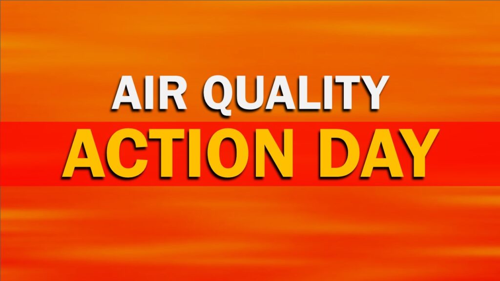
What to do during a FLASH FLOOD EMERGENCY!!!!!

Flood Facts for Driving

Turn Around, Don't Drown
  • Six inches of water will reach the bottom of most passenger cars causing loss of control and possible stalling.
  • A foot of water will float many vehicles.
  • Two feet of rushing water can carry away most vehicles including sport utility vehicles (SUVs) and pick-ups.
  • Remember: Turn Around, Don’t Drown!

Here are some tips of what to do during a flash flooding event.

  • Go to high ground immediately.
  • Get out of areas subject to flooding, such as low spots, canyons, washes, etc.
  • Do not attempt to cross a flowing stream on foot. Even water only six inches deep, when moving at a high rate of speed, can knock you off your feet.
  • Never drive through flooded areas or standing water. Shallow, swiftly flowing water can wash a car from a roadway. Also, the roadbed may not be intact under the water.
  • If the vehicle stalls, abandon it immediately and seek higher ground. Rapidly rising water may engulf the vehicle and its occupants.
  • Be especially cautious at night when it’s harder to recognize flood dangers.
  • Do not camp or park your vehicle along streams and washes, particularly during threatening conditions.
  • Understand the difference between a flash flood watch and a flash flood warning. 
    • flash flood watch means that flooding may occur. Residents should stay alert, closely monitor rivers and streams, and be prepared to move to high ground quickly. A flash flood warning means that there is actual flooding. Residents should act at once and move to high ground.

Staying Safe After a Flood

Illustration of a gloved hand cleaning up personal belongings from flood waters in their home.
  • Pay attention to authorities for information and instructions. Return home only when authorities say it is safe.
  • Avoid driving except in emergencies.
  • Wear heavy work gloves, protective clothing and boots during clean up and use appropriate face coverings or masks if cleaning mold or other debris. 
  • People with asthma and other lung conditions and/or immune suppression should not enter buildings with indoor water leaks or mold growth that can be seen or smelled. Children should not take part in disaster cleanup work.
  • Be aware that snakes and other animals may be in your house.
  • Be aware of the risk of electrocution. Do not touch electrical equipment if it is wet or if you are standing in water. Turn off the electricity to prevent electric shock if it is safe to do so.
  • Avoid wading in floodwater, which can be contaminated and contain dangerous debris. Underground or downed power lines can also electrically charge the water.
  • Use a generator or other gasoline-powered machinery ONLY outdoors and away from windows.

Weekend Winter Storm to bring SNOW, Rain and MIX to the area

A Winter Storm will bring snow, rain and a mix to the area. This will start Saturday Afternoon into Sunday. At this point the i95 corridor is going to be close to where the rain/snow line set up. I will say at this point the area could see inches or snow or just a little due to placement of the rain/snow line.

Team SNOW is not going to like our call but things could be trending south, which would bring more snow to the area. This will be a HEAVY WET snow!

First Call:

Lower Bucks, Central Bucks, Philly, Trenton – C-2″ Snow changing to Rain/Mix

Doylestown, Reading, Lancaster – 3-6″ Snow changing to Rain/Mix

Quakertown, Allentown, Harrisburg, Pottsville – 4-8″ Heavy wet snow.

All snow will be a wet heavy snow. The NAM above is trending south will this keep up on the overnight runs? We will watch closely and if I need to update the numbers below I will in our second call around mid day tomorrow.

Please NOTE: New Model guidance coming in from the NAM model shows that the storm is trending south. If this keeps up in the overnight models we will be RAISING snow totals for most of the area around the i95 corridor. We are going to keep close eye on this as well as dynamics. I will update late morning with second call if needed.

loader-image
Current Weather Additional Data
Yardley, Pa
9:56 pm, Jul 26, 2024
weather icon 71°F
Low: 68° High: 74°
scattered clouds
Pressure 1019 mb
Wind 5 mph
Wind Gust 0 mph
Precipitation 0 inch
Clouds 40%
Rain Chance 0%
Snow 0
Visibility 6 mi
Sunrise 4:52 am
Sunset 7:19 pm

ALERT: Freeze Warning In Effect Until 10am Thursday

FREEZE WARNING IN EFFECT FROM MIDNIGHT TONIGHT TO 10 AM EDT THURSDAY…

* WHAT…Sub-freezing temperatures as low as 26 expected.

* WHERE…Portions of Delaware, the eastern shores of Maryland, New Jersey and southeast Pennsylvania.

* WHEN…From midnight tonight to 10 AM EDT Thursday.

* IMPACTS…Frost and freeze conditions will kill crops and other sensitive vegetation.

PRECAUTIONARY/PREPAREDNESS ACTIONS…
Take steps now to protect tender plants from the cold.

COASTAL FLOOD ADVISORY IN EFFECT FROM 7 PM SATURDAY until Midnight Saturday

…COASTAL FLOOD ADVISORY IN EFFECT FROM 7 PM SATURDAY TO MIDNIGHT EDT SATURDAY NIGHT…

  • WHAT…Up to one foot of inundation above ground level expected in low-lying areas near shorelines and tidal waterways.
  • WHERE…The tidal Delaware River and its tidal tributaries.
  • WHEN…From 7:00 PM Saturday until midnight on Saturday night.
  • IMPACTS…At this level, flooding begins on the most vulnerable roads in coastal and bayside communities, and along inland tidal waterways. Some partial or full road closures are possible.
  • ADDITIONAL DETAILS…

PRECAUTIONARY/PREPAREDNESS ACTIONS…

If travel is required, allow extra time as some roads may be closed. Do not drive around barricades or through water of unknown depth. Take the necessary actions to protect flood-prone property.

Time of high total tides are approximate to the nearest hour.

Delaware River at Philadelphia MLLW Categories – Minor 8.2 ft, Moderate 9.2 ft, Major 10.2 ft MHHW Categories – Minor 1.5 ft, Moderate 2.5 ft, Major 3.5 ft

BREAKING: Tropical Storm Watches and Warnings are issued across East Coast

A tropical storm warning was issued Thursday from coastal North Carolina to Delaware ahead of a potential tropical cyclone that’s headed toward the East Coast.

The National Hurricane Center announced “Potential Tropical Cyclone Sixteen” on Thursday morning. The disturbance was located about 370 miles (595 kilometers) southeast of Charleston, South Carolina, forecasters said, and moving north at 9 mph (15 kph). Maximum sustained winds were 35 mph (55 kph).

The hurricane center defines a potential tropical cyclone as a disturbance that poses a threat for tropical storm or hurricane conditions to land within 48 hours. The current system could reach the North Carolina coast around Friday night or early Saturday.

The tropical storm warning is in effect from Cape Fear, North Carolina, to Fenwick Island, Delaware. It also includes the Chesapeake Bay south of Smith Point, and Albemarle and Pamlico Sounds.

A storm surge watch was also issued from Surf City, North Carolina, to Chincoteague, Virginia. The hurricane center said storm surge between 2 and 4 feet (.6 to 1.2 meters) was expected.

Our team will bring you the latest on the this storm. Next update will be at 5pm. Below are images from the NAM model. We are keeping close eye on this storm and will bring you the latest tonight.

BOLO ALERT: South Coventry Township BOLO/

Cavalcante is believed to be within a perimeter in the South Coventry Township area: Routes 23 & 100, Fairview & Nantmeal Roads, and Iron Bridge & County Park Roads. Residents should secure buildings, property and vehicles. Report sightings or related activity immediately to 911.

Below are live updates from the PA State Police Twitter account.

ALERT: Flood Watch In Effect From 2am Wednesday until Wednesday Afternoon

FLOOD WATCH IN EFFECT FROM 2 AM EDT WEDNESDAY THROUGH WEDNESDAY AFTERNOON

* WHAT…Flooding caused by excessive rainfall is possible. * WHERE…Portions of northern Delaware…New Jersey…and Pennsylvania…including the following areas…in northern Delaware…New Castle. In New Jersey…Camden, Coastal Ocean, Eastern Monmouth, Gloucester, Hunterdon, Mercer, Middlesex, Morris, Northwestern Burlington, Ocean, Salem, Somerset, Southeastern Burlington, Sussex, Warren, and Western Monmouth. In Pennsylvania…Berks, Carbon, Delaware, Eastern Chester, Eastern Montgomery, Lehigh, Lower Bucks, Monroe, Northampton, Philadelphia, Upper Bucks, Western Chester, and Western Montgomery.

* WHEN…From 2 AM EDT Wednesday through Wednesday afternoon. * IMPACTS…Excessive runoff may result in flooding of rivers, creeks, streams, and other low-lying and flood-prone locations.

* ADDITIONAL DETAILS… – Showers and thunderstorms with locally heavy rain are expected to cross the region late tonight through Wednesday. Rainfall rates may exceed 1-2 inches per hours, which may result in flash flooding.

PRECAUTIONARY/PREPAREDNESS ACTIONS… You should monitor later forecasts and be alert for possible Flood Warnings. Those living in areas prone to flooding should be prepared to take action should flooding develop.

Wallops Launch To Be Visible Tonight

Tonight a launch from Wallops will be visible from the area.

NASA is launching an Antares supply rocket from the Mid-Atlantic Regional Spaceport’s Pad 0A on Wallops Island in Virginia.

The rocket is scheduled to launch at 8:31 p.m. and may be visible to residents throughout the region and possibly the east coast of the United States. This is Northrop Grumman’s 19th commercial resupply services mission for NASA, delivering science investigations, supplies, and equipment to the International Space Station.

If you capture the launch please share below!

ALERT: DEP Declares Statewide Code Orange Air Quality Action Day for Friday June 30, 2023