Jun
27
ALERT: A Flood Watch is in effect until Midnight
WHAT...Flooding caused by excessive rainfall continues to be
possible.
* WHERE...Portions of northern Delaware...New Jersey...and
Pennsylvania...including the following areas...in northern
Delaware...New Castle. In New Jersey...Mercer and Middlesex. In
Pennsylvania...Berks, Carbon, Delaware, Eastern Chester, Eastern
Montgomery, Lower Bucks, Monroe, Philadelphia, Upper Bucks,
Western Chester, and Western Montgomery.
* WHEN...Until Midnight EDT tonight.
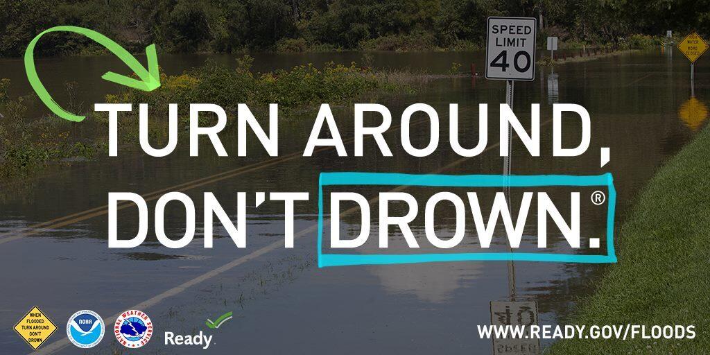
* IMPACTS...Excessive runoff may result in flooding of rivers,
creeks, streams, and other low-lying and flood-prone locations.
Creeks and streams may rise out of their banks. Flooding may occur
in poor drainage and urban areas. Low-water crossings may be
flooded.
* ADDITIONAL DETAILS...
- Scattered showers and thunderstorms with locally heavy rain
are expected across the watch area this afternoon and
evening. Widespread rainfall amounts near 1 inch with locally
higher amounts near 3 inches occurred on Monday, saturating
the ground. Rainfall amounts of 1-2 inches with localized
amounts near 3 inches will be possible with the showers and
thunderstorms today. These totals may result in additional
flash flooding.